Explore the ‘Inimim Forest in a new web map

General Maps
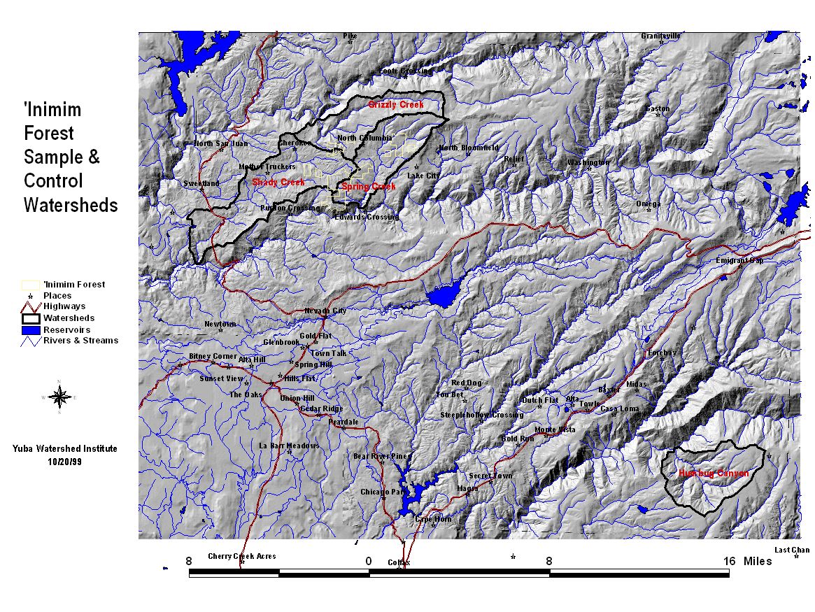
- ‘Inimim Forest Locator Map
- ‘Inimim Forest Parcels
- UC Davis Long-term Sediment Monitoring Cross Sections and Benchmarks
- Watershed Monitoring Plots
- 1999 Foothill Yellow-legged Frog Survey
Old-growth Forest Map
- Old-growth & Near Old-growth Forests—1997
- Spring Creek Watershed
- Grizzly Creek Watershed
- Shady Creek Watershed
- Bald Mountain Region
Sample Watershed Condition Maps
- Diversity of Aquatic Insects Intolerant of Pollution
- Total Stream Insect Diversity
- Mean Abundance of Pollution Intolerant Insects
- Diversity of Insects that Cling to Stream Substrates
- Insect Community Dominance by a Single Taxonomic Group
- Mean Abundance of Stoneflies (Plecoptera)
- Richness of Pollution Tolerant Insect Groups
- Mean Abundance of Mayflies (Ephemeroptera)
- Mean Abundance of Caddisflies (Tricoptera)
- Percent Long-Lived Taxa
- Percent Predators
- Mean Abundance of all Benthic Macroinvertebrates